
CSULB NSF-REU # 2050518
CSULB NSF-REU # 2050518
Tracking Land Change (TLC) at River Ridge Ranch, California. Research Experience for Undergraduates (REU)
Program dates: May 28-July 12 2024
APPLY NOW! Completed applications (including at least 1 letter of reference) are due no later than January 31, 2024.
The Project
Welcome to the Tracking Land Change (TLC) project at River Ridge Ranch, California. This program is a National Science Foundation (NSF) funded Research Experiences for Undergraduates (REU) offering. Our REU program will take place on-site at the scenic River Ridge Ranch at the foot of the Sierra Nevada Mountains and the SNARL research site near Mammoth Lakes.
The objective of this REU is to train the next generation of land managers and restoration scientists in conservation science and technology to facilitate the transition of working lands to de facto working reserves. We will train a highly diverse group of students in the field at River Ridge Ranch (RRR), a working ranch near Sequoia National Park, and in our laboratory, in the use of innovative geospatial technologies and the application of the associated STEM biogeographic concepts that inform them. Students will develop their own research questions in consultation with a broad array of faculty and carry out original research in teams. They will also receive training in career skills, including professional report writing and oral communication for in-person and virtual visual presentations. Students receive a paid stipend for participating.
Key Dates:
Applications Due: January 31, 2024
Notifications: March 1, 2024
Our Schedule
Our program will run from May 28-July 12 2024. We meet at California State University, Long Beach where students will receive training in Geotechniques and GIScience using a variety of software programs and technologies including conservation drones and GPS. Students will work with faculty to develop potential research topics before heading to the ranch study site for a five-week intensive field study in June-July. Students will have the option to stay in rustic bunkhouses or at secluded camp-sites while at the ranch. Amenities include, Wi-Fi, swimming in the Tule River, hiking and biking, as well as access to the compound, a unique full outdoor kitchen, firepit and classroom. Students will work 5 days per week, collecting data in the mornings, and performing analysis in the lab during the heat of the day. Students will have the option for excursions to Sequoia National Park and/or other outlets on weekends, or stay and relax at the ranch. Read about the Student Experience here! Upon completion of the main field program, students will focus on conducting laboratory work, analysis, as well as writing of final reports and crafting of presentations. The program will end with a stay at the SNARL research site near Mammoth Lakes in the cool of the Sierra Mountains. We will conclude with formal presentations of research findings at a symposium at River Ridge or on the CSULB campus.
-

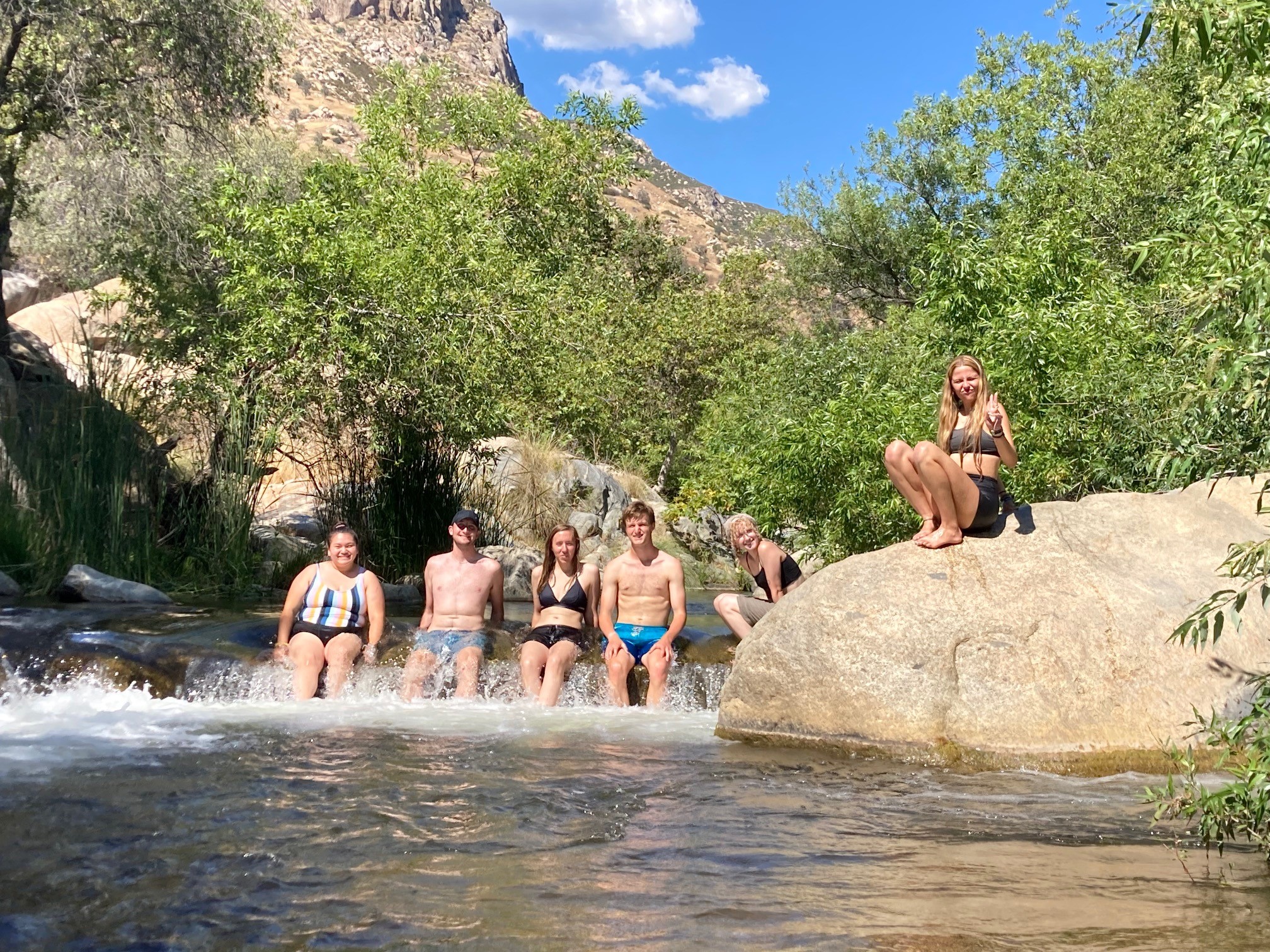
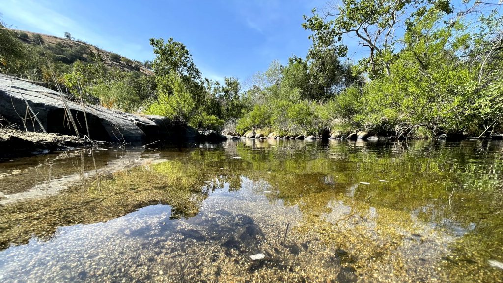
- Students relaxing in the main fork of the Tule River
-
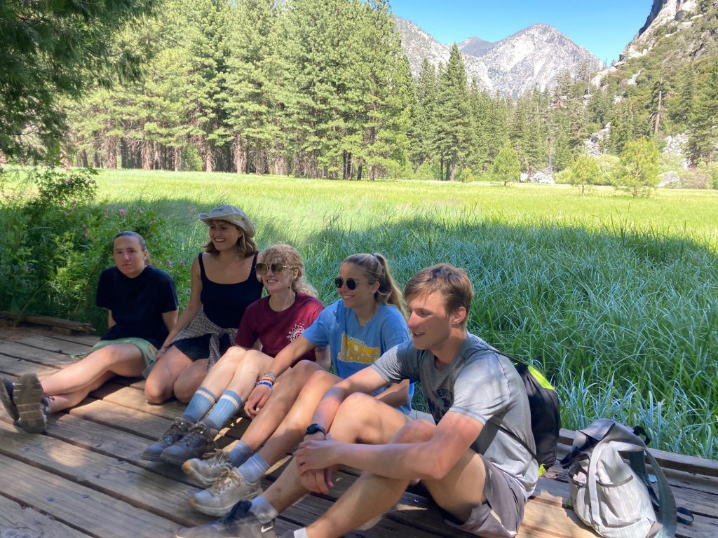
- Weekend excursion at Zumwalt meadow, Kings Canyon National Park

-
- Rustic bunkhouses at River Ridge Ranch with students.
-
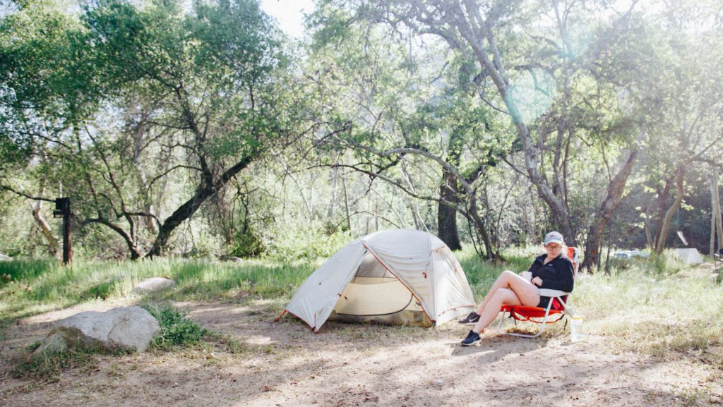
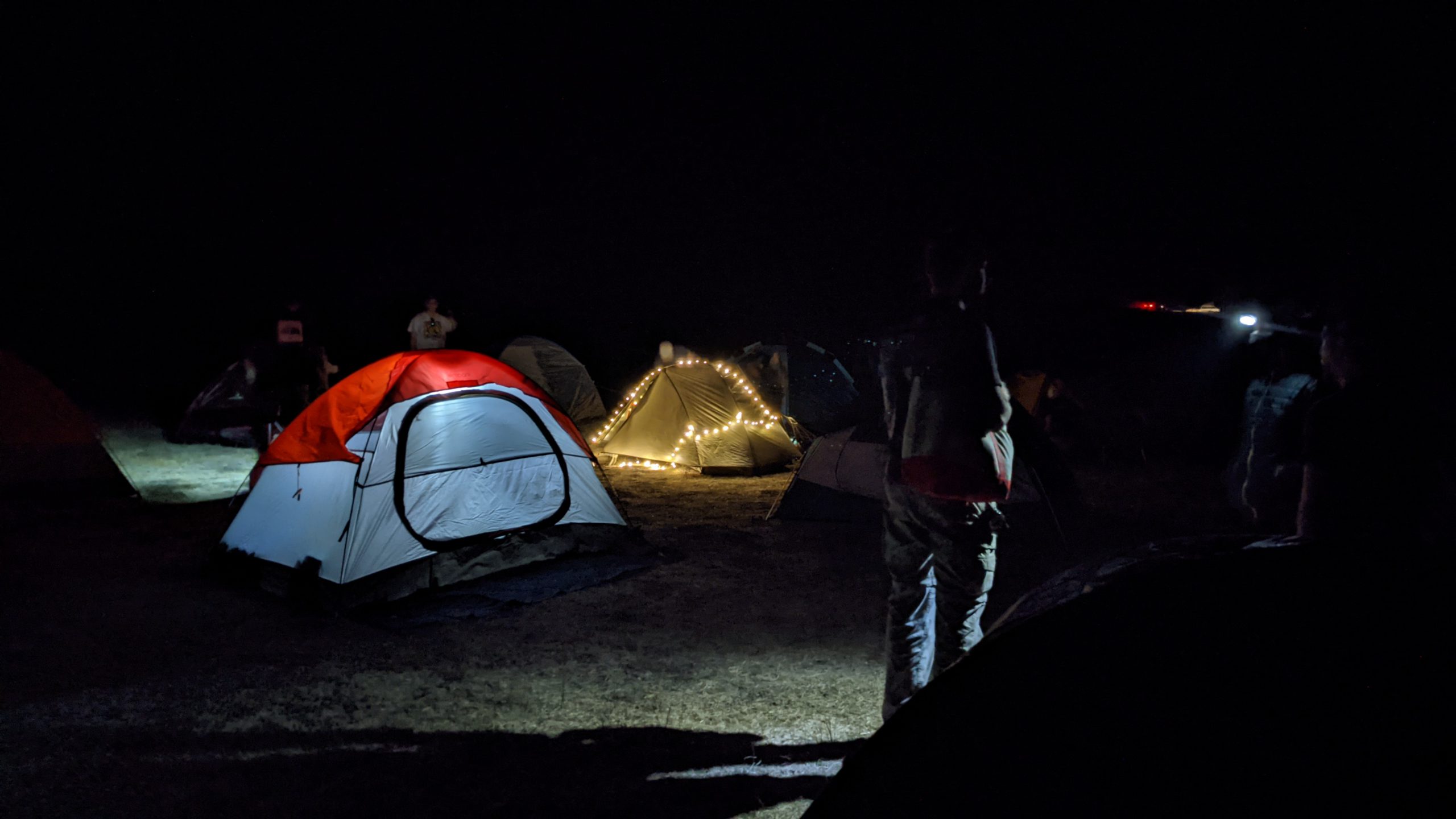
- Secluded camp-site at Turtle Flat Tent.

Student Requirements
Students are responsible for their travel arrangements to and from the Los Angeles area (California State University, Long Beach). Students must arrive at CSU Long Beach on May 27, 2024. The program ends on July 12, 2024. Students will receive a stipend of $600/week for 7 weeks ($4200) for their participation in this program and/or additional uncompensated costs related to the summer experience.
Note: All students are expected to be able to bring a Windows 10 (64)-based laptop (Minimum: 16GB RAM, 256 GB hard disk, video card, MS Office 2010 [2016 preferred]), for use during the field program. Please contact us regarding your computer if you have any questions regarding its capabilities.
REU Covered Expenses
- Housing and food while at River Ridge Ranch and at CSU, Long Beach.
- Travel to and from CSULB to River Ridge Ranch, Springville, CA.
- Transportation while at RRR to various sites.
- Weekly stipend for all participants.
Eligible Student Participants: Undergraduate student participants supported with NSF funds at REU-Sites must be citizens or permanent residents of the United States or its possessions. An undergraduate student is a student who is enrolled in a degree program (part-time or full-time) leading to a baccalaureate or associate degree. Students who are transferring from one college or university to another and are enrolled at neither institution during the intervening summer may participate. High school graduates who have been accepted at an undergraduate institution but who have not yet started their undergraduate study are also eligible to participate. Students who have received their bachelor’s degrees and are no longer enrolled as undergraduates are generally not eligible to participate.
For more information about NSF-REU programs please see: http://www.nsf.gov/crssprgm/reu/index.jsp. For information about our NSF REU award, please see: https://nsf.gov/awardsearch/showAward?AWD_ID=2050518&HistoricalAwards=false
-
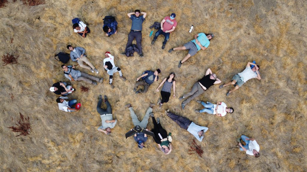
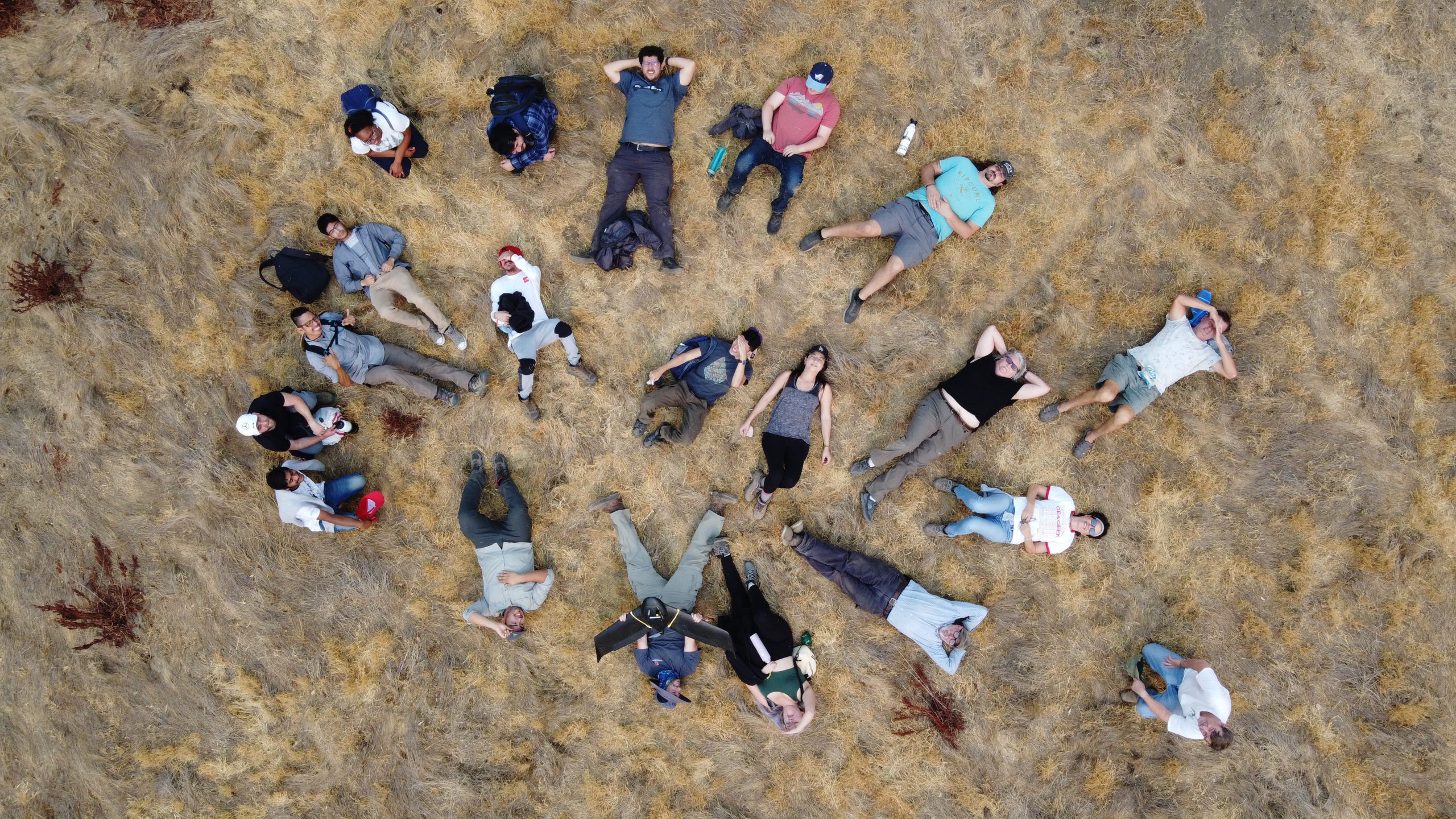
- Drone shot of students at River Ridge Ranch.
-
- Swimming hole on River Ridge Ranch

-

- Tents set at night of River Ridge Ranch camp site
-
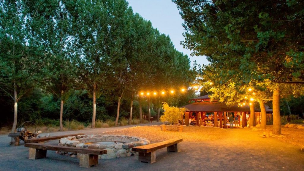
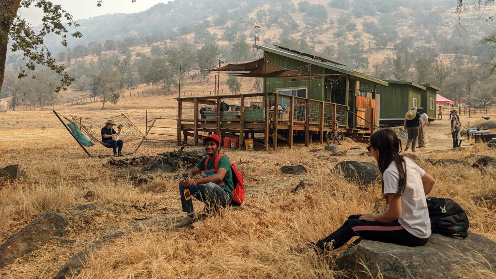
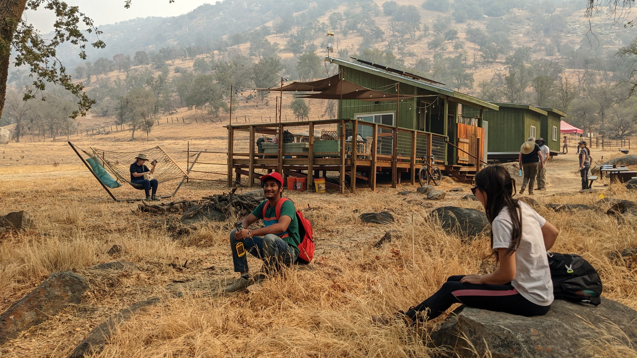
- The compound of River Ridge Ranch in the evening
