Class assignment leads to improvements on city walkways
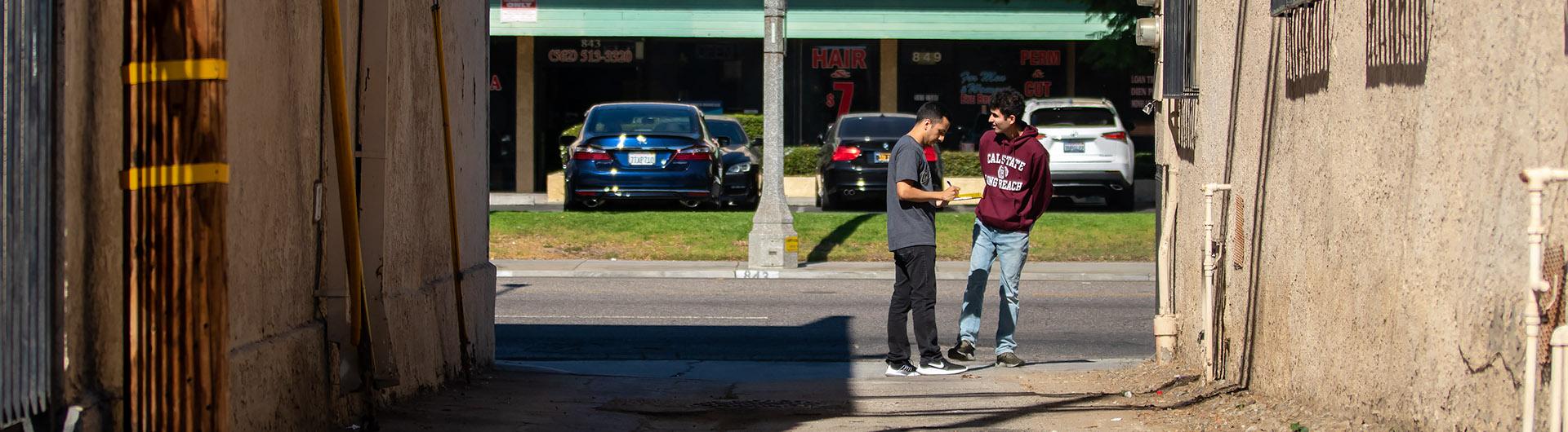
Geography student Aziz Fellague marks down a score of “1” for the question, “Is there shade provided by trees or buildings?”
On a particularly warm autumn afternoon in Long Beach, the fact that there was little to no shade on Anaheim Street in Cambodia Town was a clear sign something needed to be done.
Wiping beads of sweat off their brows, Fellague and fellow classmate Ryan de Hoop continued to fill out the questionnaire. The sheet inquired how many cracks are in the sidewalk, if there’s trash on the ground or graffiti on the walls, and if ADA-compliant curb ramps are present at all intersections.
“I wanted to take a class where I could go out into the field and put some application to the theories that we’ve learned,” Fellague said.
When geography professor Dr. Christine Jocoy created an assignment for her Urban Geography: Metropolitan Problems and Solutions course, she intended to do just that -- get her students out of the classroom and into the environment.
“I’m trying to teach them to observe their community with a more conscious eye,” she said. “I’d like them to see the environment as something that is designed and created and can be done in a different way.”
The class is for both geography majors and students who are working toward an Urban Studies Certificate, which is open to post graduates or students in the master’s program. The student-gathered data, called a walk audit, is given to CityFabrick, a nonprofit urban design studio in Long Beach, and a Cal State Long Beach History and Theory of Architecture class.

Each year, groups of students are assigned to a stretch of a certain neighborhood in the City of Long Beach. Jocoy and her class work closely with Walk Long Beach, an organization that regularly conducts audits that focus on the walkability of the city as well as pedestrian safety.
Walk Long Beach’s executive director Steve Gerhardt said there’s a benefit of seeing urban patterns through the eyes of young students who are able-bodied digital natives, as well as through the eyes of others, such older adults, people who might not see or move as well, parents with children and pedestrians dependent on transit, biking or walking to get around.
“As we conduct the walk audits, we pose scenarios for them (students) to consider how others might experience the same streets from those other vantage points,” Gerhardt said. “We think this leaves a lasting impression on them that might well inform their professional work in the future.”
Jocoy started the class project in 2013, with previous assignments taking place in St. Mary’s neighborhood, Willmore City, Willow Street and Artesia Boulevard. This year, the walk audits took place on Anaheim Street where Cambodia Town and the Zaferia District meet.
Having community members, such as Jocoy’s students and Walk Long Beach volunteers, provide data and suggestions for improvement allows for advocacy to push back on city plans that might not consider the average pedestrian’s experience.
“The students’ collective efforts have proven essential to successful advocacy efforts in Central Long Beach, both for emphasizing greater consideration for pedestrians and securing resources for traffic safety projects,” Executive Director of CityFabrick Brian Ulaszewski said.
After student observations are recorded as scores and logged into an excel file, the data is not only given to CityFabrick, but also to design Professor Tom Tredway and his History and Theory of Architecture class.
Tredway’s class uses the data provided by Jocoy’s students to design signs and logos specific to each neighborhood that can help with community identity, Jocoy said. Tredway said that his students also apply research to come up with Tactical Urbanism ideas, which are designs that can provide high impact, yet low cost, improvements for the urban experience that enhance safety and provide a sense of community.
"The work produced by our students plays an important role in helping the city visualize the possibilities of Tactical Urbanism and related approaches in addressing community needs," Tredway said.
Working with real-life data can turn into tangible changes, too. Ulaszewski said student data recently helped implement Willow Street improvements, including traffic calming and separation between vehicles and pedestrians in the Wrigley Village area.
“CSULB has proven to be a fertile environment for future city builders, whether they become designers, geographers, or otherwise,” he said. “The cross section of future experts provides us continued appreciation for the diverse body of professionals that influence community change.”