
Orthophotos, Point Clouds, and Digital Elevation Models
June 14, 2012Good evening,
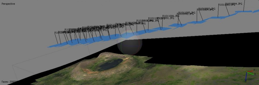
Today’s lab sessions were particularly useful for the analysis of remote-sensing information acquired from aerial platforms. Dr. Wechsler introduced an approach for the generation of orthophotos and point clouds using Photoscan. This method allows the development of images of terrain as compiled from aerial transect photography taken by the Gatewing X100 UAV. The following image was developed from information for Rapa Nui.
Dr. Wechsler continued with exercises for importing point clouds into ArcGIS and the methods for creating various hypsographic models. The professor relayed a wealth of information regarding DEM techniques applicable to our upcoming research trip. Further projects involving ArcGIS and Photosynth will continue throughout the remainder of the week. I would especially like to commend our teaching assistants Briton Voorhees and Paul Nesbit for their continued support of student activities during the program. Today, Briton gave a lecture on eCognition Developer as a method for feature classification that will prove useful in the coming weeks. I will be sure to post more data images as I continue my work.
– John Thornton O’Connor