
First day of analysis
July 3, 2012Post for 07/02/2012
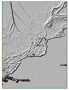
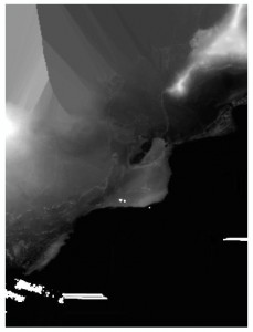
Today was a day of struggling through the LiDAR data again. I managed to get to a DEM of the area but I will have to redo them since I missed a critical step. I converted the las file to multipoint then did an IDW interpolation. From there I made a slope and a hillshade layer. Here are some screenshots:
Hillshade:
Slope:
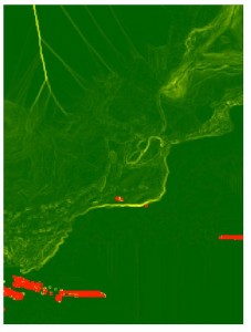
IDW:
After the lab work was pretty much over for the day, the archaeology group met up with Drs. Lipo and Wechsler. They managed to figure out the problem with the LiDAR data, so I plan to work on those tomorrow. I also plan to work through the georeferenced historic maps to extract out some shapefiles.
Wish me luck!