Day 23: Tracing Boundaries
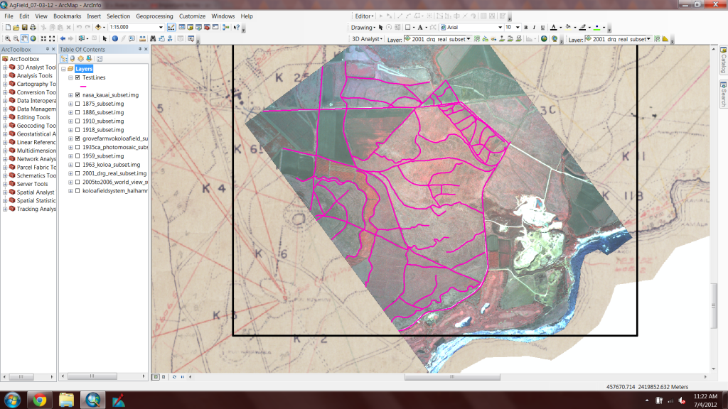
July 4, 2012While my brain may have turned to mush, today was a very productive lab day at the Beach. I arrived at lab at 9am and immediately started to georeference and subset any last-minute maps I had discovered. I then began to analyze the agricultural field patterns near the quarry. In some images, you can see tons of geometric areas outlined by roads, ditches, or fences, but what I want to know, is how long these areas have been bounded. After talking with Dr. Lipo, I decided that the best way to approach the data analysis would be to create my own boundary layer and overlay it on all of the maps to see if there is any correlation throughout the years. I’m eager to see what this analysis shows, and am excited to come up with more questions that my deliverable can answer!