Day 16: Maps!
June 27, 2012Dreams really do come true! Mike and Burney took me and Sam to the Grove Farm Museum: a museum with tons of Hawaiian maps (and a billion cats roaming around)! And if you don’t know by now, I LOVE MAPS.
We needed to digitize a few maps of Koloa and surrounding areas for our projects. We hijacked a few framed maps from the wall, and sifted through a few file cabinets until we found the maps that were best suited for our needs.
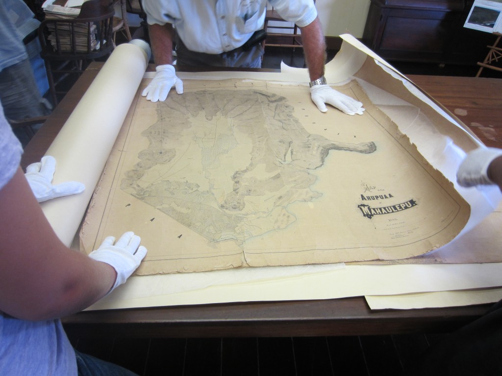
One of the employees demonstrated how to scan large scale maps in order to georeference them. After we slid the map upright under a plastic cover and clamped it down, we calibrated the color and focus of the image, then we scanned it!
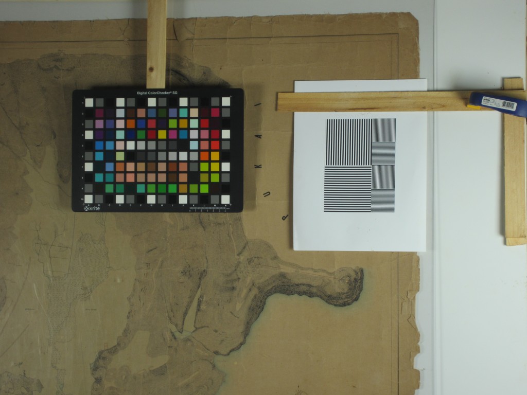
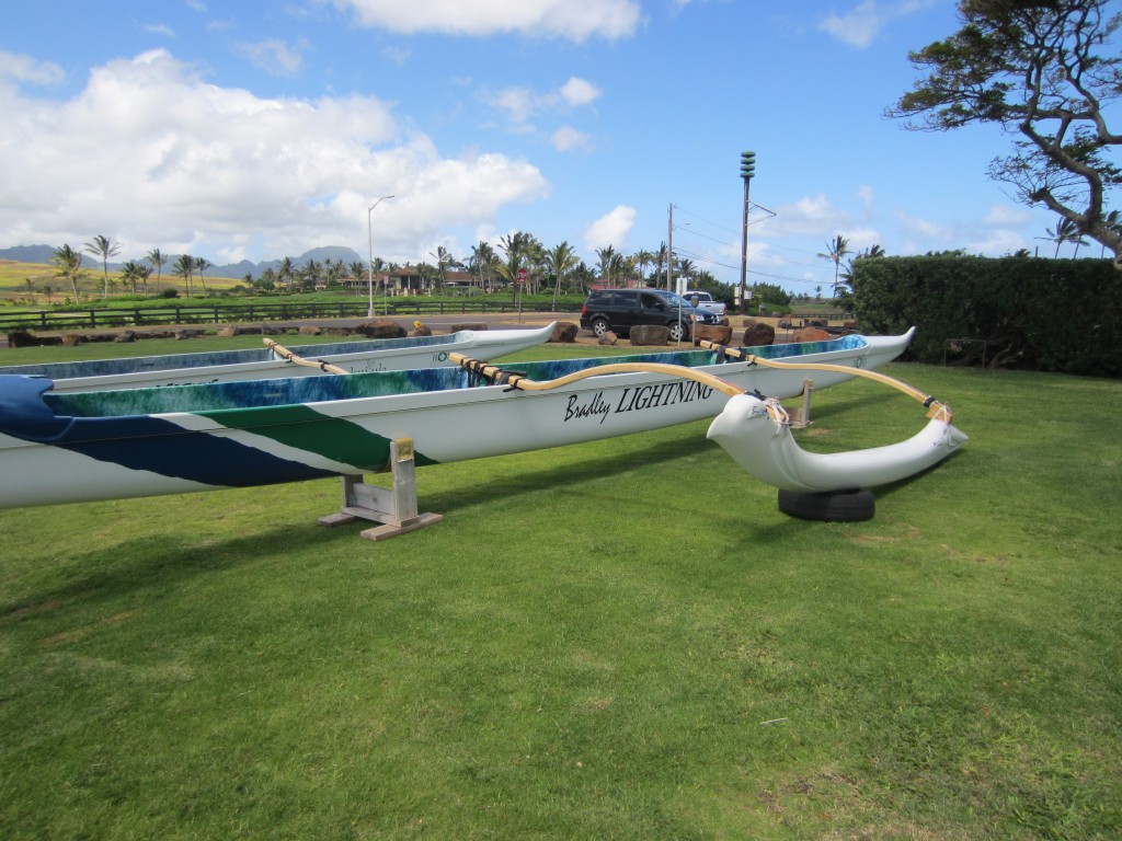
Once I get back to the lab, I can georeference the maps and create various layers of the Koloa Field System and other archaeological features. After leaving the Grove Farm Museum, the agriculture and vegetation teams drove to Kukuiula Boat Harbor to have a try at paddling outrigger canoes, an adapted Polynesian form of transportation. It was a ton of fun and I’m glad that I had the chance to try it! Then the professors took us out for burgers and fries at a small and delicious burger joint in Poipu. I was glad to have a meal that I didn’t have to prepare myself or clean-up after!