
Day 16: Hawaiian Canoe
June 26, 2012Today we worked in the lab all day. It was nice to work in a lab (sort of) because I was able to avoid the sunlight for once. At the lab I georeferenced some points we recorded on the trimble and also tried to make a DEM model using photoscan and ArcMap of the first heiau we visited. Unfortunately I was unable to make a DEM on ArcMap (well I made it but it turned out wrong). However today was a productive day. Also after our work was done, the vegetation group and the archaeology group went out to paddle some traditional Hawaiian canoe. I have to say that was quite a workout. After breaking a sweat on the canoe, we went out to get some burgers and fries. Thank you Dr. Lee for the delicious burgers!
Pic time!!
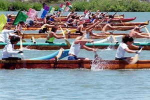 (Hawaiian canoe) p.s Yes that is us and I took the pic hahha
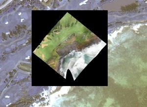 (georeferenced images) p.s yes I did this one
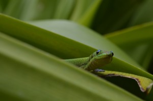 (pic I took when took a break after the DEM didn’t work)