Day 11
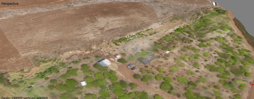
June 21, 2012Today was pretty much a data day. We went to the education center at the garden and explored the imagery with ERDAS and created some orthophotos in PhotoScan. I feel like I have a much better handle on ERDAS now. Using PhotoScan to create DEMS from the pictures the kite and fixedwing took was great. We also got some of the GAP analysis imagery from Matt and created our “data dictionary” in GPS Pathfinder Office for the Trimble units. This should make things easier in the field tomorrow. Apparently the other group got to see Dr.Burney chase chickens across the road today. I would have paid good money to see that